Peneda-Geres National Park – second half of day one
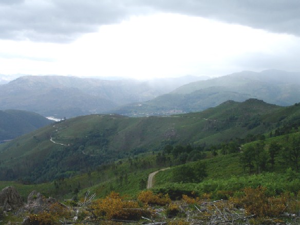
From Leijo we headed seriously uphill toward Soajo. The mountain we climbed before coming back down was intimidating, to say the least.
I, who am not at all afraid of heights, got butterflies looking straight down some 2,100 feet with no guardrail to obstruct my view. This drive is not for the timid.
We had decided to spending the afternoon hiking the path that lead to a large group of “beehives”. Beehives are ancient (pre-Roman) circular stone huts called abrigos. They have slab stone roofs and blend into the granite strewn hillside, almost becoming invisible.
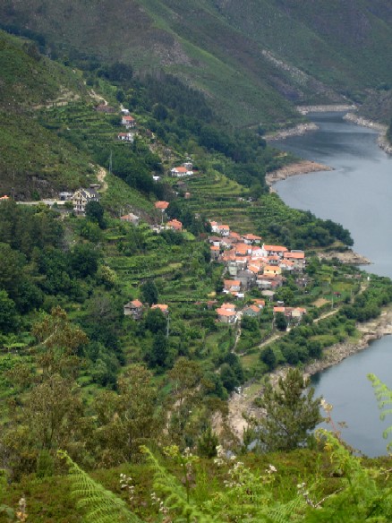
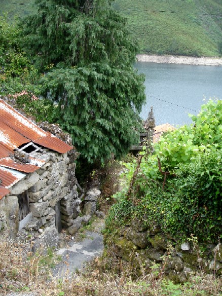
According to the map of the park. We should be able to start the walk from the foot of the village of Varzea. Here is Varzea at a distance from the road above. If you look in the upper right corner of the picture, you will see a rocky, barren patch of land a little bit uphill from the left bank of the water. That is where the beehives are.
As we drove down to Varzea, we were greated by a beautiful little cemetery perched on the side of the hill and overlooking the water below. It was here that we had to abandon our car.
Peneda-Geres National Park was established in the early 1970’s. So, of course there were many long settled villages within it’s borders. Some of the families in these villages have been there for generations.
Park regulations require that residents give access to all of the historic areas of the park. And there are supposed to be markers at the beginning of each hiking path. However, it is understandable that they don’t appreciate a bunch of tourist hikers tromping through their streets and fields. And it is also to be expected that some of those path markers just might get knocked over, and nobody gets around to putting them back up. ::wink::
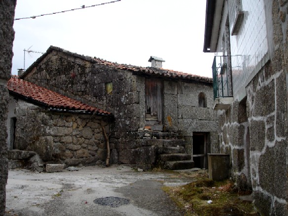
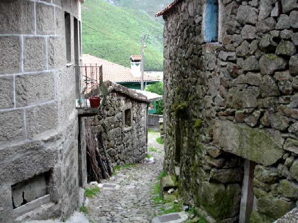
After we left the car, we began trying to find the marker for the path. Here is the first dead end we came to.
And here is the second dead end. We could see people peeking out their windows at us as we tried to figure out where the marker might be.
The third deadend is the one that defeated us.
It was spooky knowing we were in a town that was occupied, but looked deserted — to see curtains flutter at the windows and know that someone was watching us and willing us to go away. So, we did.
Even though we didn’t get to see the abrigos in person, or take pictures for this blog entry, I did find a good picture at this link: http://www.freguesiasdeportugal.com/distritoviana/01/soajo/historia.htm Just click on the first picture you see in the body of the text.
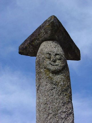
We headed on to Soajo where we found more espiguerios and the famous “Smiling Pillory”. I wonder if the smile made the punishment more tolerable?
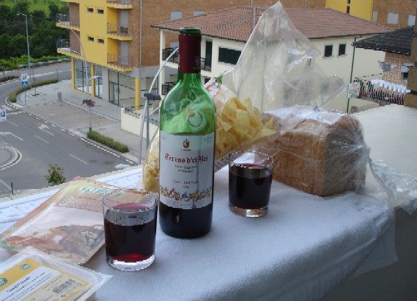
On our way back to the hotel, we decided dinner in our room sounded great. So we stopped in the market, picked up some items & had a picnic as we sat on our balcony.

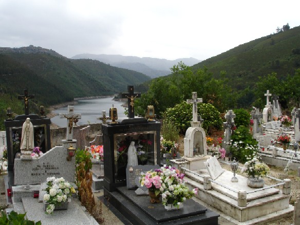
Great read and photgraphs! Are the abrigos a shelter for the farmers or travelers of the area? Love the picture of the cemetery. That is my idea of a final resting place: a small cemetery with a beautiful view. The village looks ancient and the smiling pillory might have been the original smiley face. 🙂
One of my favorite things to do while traveling is having a picnic in my hotel room. (is that a bag of chips?)
Deborah responds: The literal meaning of the word agrigo is “shelter”. It is believed that they were most likely the shelters of wondering shepherds.
Smiley face! Funny!
Yes, it was a bag of chips. Stale.